Reforestation Projects
We focus on the enrollment of landowners interested in converting agricultural lands that have been degraded from their previously forested condition (e.g. actively cultivated and grazing lands) back into timber. This includes properties enrolled in USDA CRP or Wetlands Reserve Program (WRP) that have either previously been reforested or could be reforested in accordance with a cooperative-use agreement.
We assist existing landowners in making that conversion seamless while capitalizing on planting fast-growing, regionally adapted tree species that maximize the net present value of each reforestation project.
Conservation Management Practices
We work collaboratively with landowners managing large tracts of land to undertake a variety of conservation projects that act as natural carbon sinks on their property. Our current focus includes opportunities to support regenerative agriculture, agroforestry, and improved forest management projects by measuring and verifying the accrual of soil and forestry-based carbon. For landowners interested in adopting conservation practices aligned with their land use, the accruals and revenue generated by carbon credits help maximum the value of their natural resources.
These practices are voluntary and do not require execution of a deed recorded conservation easement; however, such agreements can be integrated into a project area. Typical management practices include integration of winter cover crops with residue management, transition to no-till/minimum tillage practices, regenerative grazing, and sustainable forestry. Many farms, ranches, orchards and commercial timber operations have an opportunity to participate in these nature-based carbon capture projects.
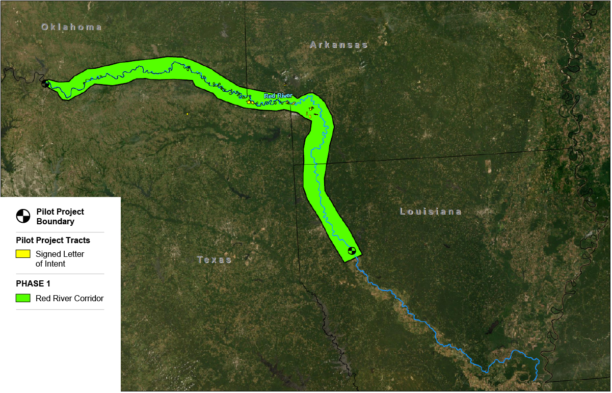
Red River Pilot Project
Carbon Credits – Catalyst for Conservation
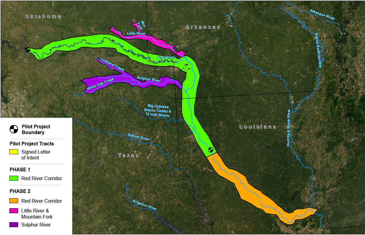
Carbon Rho is developing a forestry-based carbon capture project in the four states region of Arkansas, Louisiana, Oklahoma and Texas (4-States). Our “group” project provides a mechanism for assembling similarly forested tracts to create conservation corridors along the Red River, as well as its tributaries and wetland areas located in the Red River Valley (RRV). Our vision for the 4-States project is to use carbon credit revenues as a way to connect various properties focused on implementing conservation practices designed to provide stacked ecological service benefits, including but not limited to:
- Encourage preservation of native bottomland forests;
- Create conservation corridors to protect, restore, or establish riparian habitats;
- Improve water quality in adjacent waterbodies;
- Mitigate bank and overbank erosional losses during flood events; and
- Incentivize owners to adopt sustainable land use practices.
Pilot Project Area – Red River Corridor
Existing Conservation Easements – Connections for Conservation
The USDA Agricultural Conservation Easement Program (ACEP), which includes both Agricultural Land Easements (ALE) and Wetland Reserve Program (WRP), has established forestry-based conservation practices on easements throughout the 4-States region. Conservation easements under these programs include, but are not limited to, Flood Plain Easements (FPE), Conservation Reserve Program (CRP), and WRP. Individually, these easement programs have effectively replanted or protected native hardwood forests. However, the resulting patchwork of conservation easements presents an opportunity for broader habitat protection by aligning a more diverse group of land uses under a carbon credit program within the project area.

Carbon Credits – Catalyst for Ecosystem Benefits
HABITAT BENEFITS
- Preserve/Protect native hardwood forests;
- Reforest riparian areas and degraded lands within the project area;
- Connect privately owned unrestricted properties with existing conservation easements; and
- Create and expand conservation corridors using the carbon credits as a catalyst.
SOIL & WATER BENEFITS
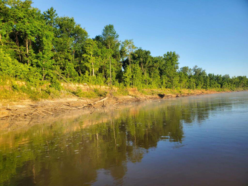
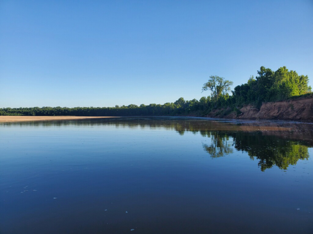
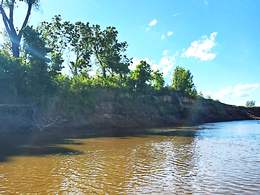
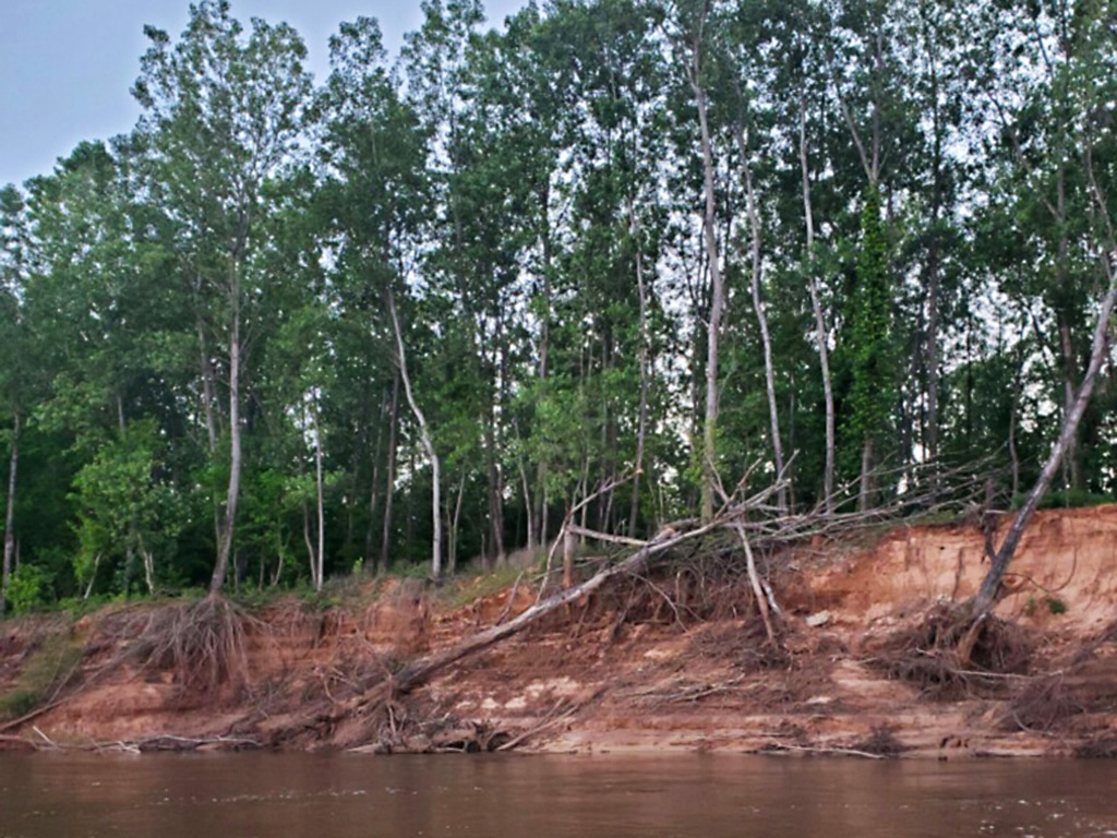
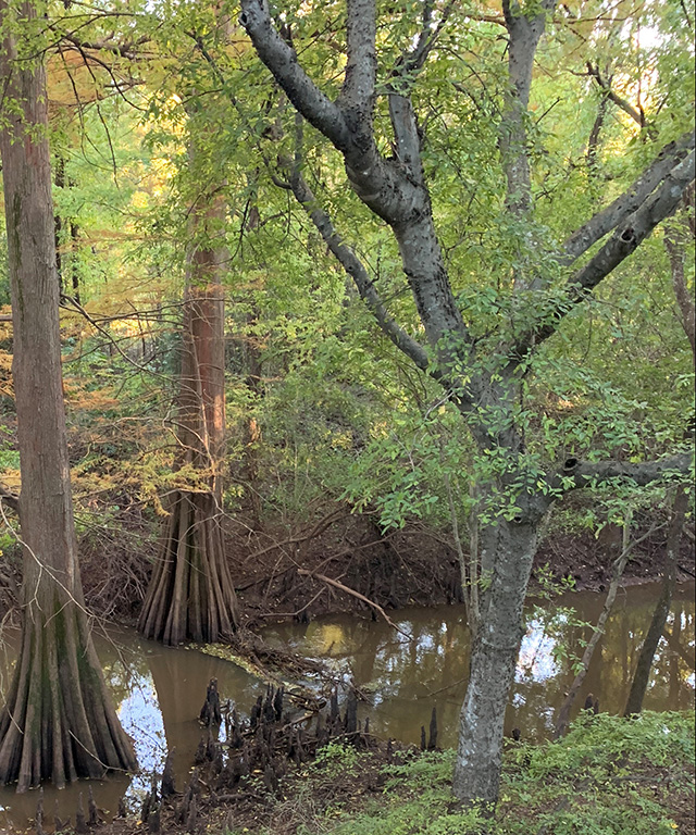
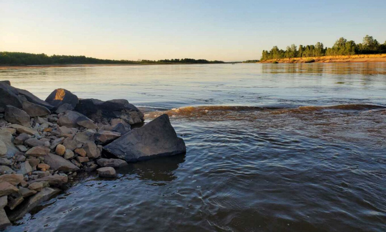
- Riparian Buffers: Preservation and expansion of riparian buffers within the project area will improve the water quality in adjacent waterbodies. These buffers help mitigate bank and overbank erosion during flood events, and act as natural filters by trapping sediment and nutrients from actively cultivated areas.
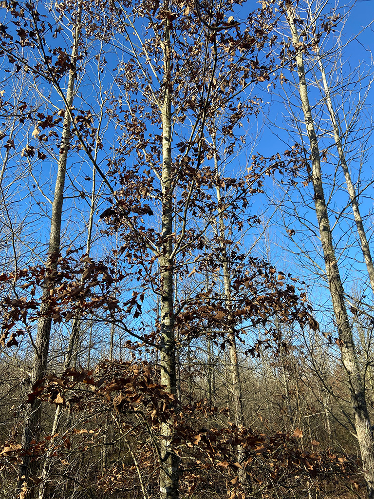
- Reforestation: The Oklahoma Forestry Services’ article (Oklahoma’s Lost Forest) estimates a greater than 40 percent loss of native forest across the state since settlement. The RRV has undergone widespread deforestation since the early 1900s, as large-scale agriculture developed. The project area features vast reforestation opportunities ranging from: the conversion of marginally productive croplands near waterways; infill of unplanted or previously failed plantations within existing conservation easements; expansion of riparian buffers and habitat corridors. Reforestation efforts shall include: planting native trees, including but not limited to Bur Oak, Cherrybark Oak, Chinkapin Oak, Nuttall Oak, Pin Oak, Southern Red Oak, Shumard Oak, Water Oak, White Oak, Willow Oak, Cypress along with other fast growing native species (e.g. Eastern Cottonwood or Improved Sweetgum) interplanted within the oaks species.
- Sustainable Timber Management: Timber in the project area will be subject to a sustainable forest management plan and any harvests from a USDA conservation easement shall be conducted in accordance with a NRCS timber stand improvement plan.
- Incentivizing Sustainable Land Use: Although not a forest-based carbon benefit, soil conservation practices also present an opportunity to further benefit the region as we engage owners. Carbon Rho has identified numerous owners in the pilot study who have expressed interest in generating soil-based carbon credits by adopting or enhancing regenerative land use practices. Local leaders will encourage other owners to embrace successful practices within and beyond the project area.
BIODIVERSITY BENEFITS
- Multiple Ecoregions: As the pilot project area reaches larger scale, Carbon Rho will apply the conservation corridor concept across at least four ecoregions converging in the 4-States region.

- Central & Mississippi Flyways: Project area features habitat in both flyways for migratory game birds, and provides critical seasonal habitat for very diverse waterfowl, including but not limited to many duck species; specklebelly, snow and Canada geese; and sandhill crane to name a few.
- Threatened or Endangered: Black bear reintroduction and habitat expansion into Southwest Arkansas
- Bird Habitat: Preserving and expanding riparian areas, successive growth and wetlands prominent in the project area provide exceptional habitat for birds, particularly birds of prey.
Red River Pilot Project FAQ
Yes, we will coordinate with owners prior to harvest to ensure required forest inventory is maintained within the project area.
The program is intentionally flexible for preferred management practices, including prescribed burning. Harvests must conform to a sustainable timber management plan and NRCS timber stand improvement plans, if applicable.
Each carbon credit represents an equivalent of one metric ton of carbon storage. Payments are made on a market-based price that will vary over time, and proceeds are based on a dollar per metric ton basis.
Future Project Expansion
- >5-miles of continuous habitat along Red River is committed
- These owners create the basis for developing the corridor concept
- The corridor will be a focal point as the project evolves
- Expansion of the corridor concept to other tributaries
- Sulphur River in Northeast Texas
- Little River in Southwest Arkansas
- Little River and Mountain Fork in Southeast Oklahoma
- Multiple owners committed serve as “anchors” on these tributaries
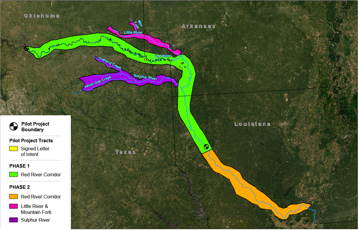
- Network of owners across the 4-States region and beyond
- Existing relationships and interest in nature-based carbon capture
- Expand by applying our core principles and learnings